Polygons
If you chosen to load polygon features, you can set their display characteristics on the Polygons tab of the GIS form.
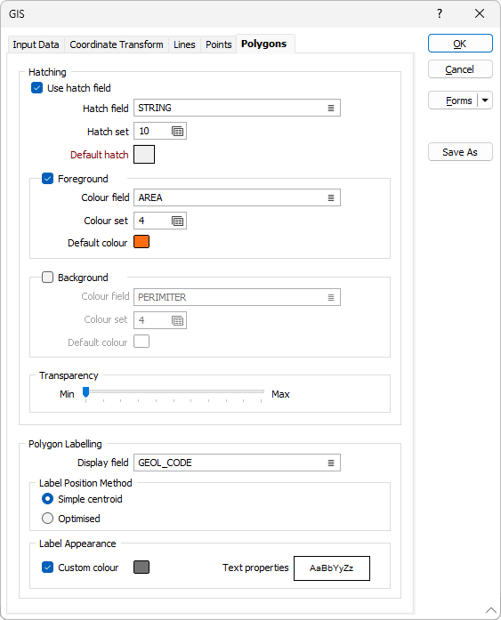
Hatching
Use hatch field
Select this option if you want to apply a hatching to the polygons in the display.
Hatch field
Enter the name of the field (in the file) containing the data that will control the hatching. The hatch set, that is associated with this field, maps hatch patterns to text strings or numeric ranges. For each record in the file, the hatch pattern that will be used is determined by the value in this field.
Hatch set
Double click (F3) to select the set that will be used to control the hatch pattern. The hatch set maps hatch patterns to text strings or numeric ranges. This determines the hatch pattern for each value in the hatch field. Right click (F4) to create or edit a hatch set.
Default hatch
Double click (F3) to select the hatch which will be used when a hatch set is not defined, or when the value in the hatch field is not mapped in the hatch set.
Foreground and Background
Select the appropriate check boxes for Foreground and Background and use the available fields to set the hatch foreground and background colours:
Colour field
Specify the name of a field which contains the values that will be used with a Colour set to colour-code the display.
Colour set
To map values in the Colour field to the colour values in a Colour set, double click (F3) to select the set that will be used to control the display colour. Right-click (F4) to create or edit a Colour set.
Default colour
Double-click (F3) to select the colour that will be used when a Colour field or a Colour set is not defined - or when a value in the Colour field is either not valid or is not mapped in the Colour set.
Transparency
Use the transparency slider to specify the intensity of the polygons. The visibility of the layers underneath the polygons will be determined by the degree of transparency you select.
Polygon Labelling
Display field
Specify the name of a Display field containing polygon label values. If you leave Display field empty, only the polygons will be displayed.
Label Position Method
Select the method by which labels positions will be calculated. The Optimised method guarantees that labels are always displayed inside the polygon, but not always as centrally located as they are using the Simple centroid method.
Custom Colour
Double-click the Colour icon (or press F3) to select the colour that will be used to display the labels.
Text properties
Double-click on the Text Properties Preview box to select a font and set text properties for the labels.