DEM (China Standard)
![]()
China Standard Transfer Format data (DEM) files are digital cartographic/geographic data files produced by the China Geological Survey.
Digital Elevation Model (DEM) data files are digital representations of cartographic information in a grid format. DEMs consist of a sampled array of elevations for a number of ground positions at regularly spaced intervals.
The grid data is stored from north to south and from west to east, as a text file.
Enter the following parameters in the Import DEM form:
DEM file
Navigate to the location of the .DEM file(s) you want to import.
Sampling factor
DEM files are often large in size. To ease the import process, it may be necessary to specify a sampling factor in order to extract a subsample of features while maintaining a regular grid pattern of points.
A sampling factor of 5, for example, would mean that every fifth point in the input file is imported. In the case of a 500 by 500 point grid, the resulting input file would be a 100 by 100 grid of points.
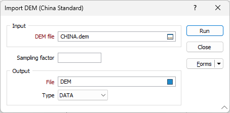
Output file
Specify an output file. The type of file you select should be compatible with the type of features being imported.