Desurvey
![]()
When planning drillholes that are defined as strings, the Desurvey function can be used to quickly calculate the azimuth and inclination (dip) of those holes.
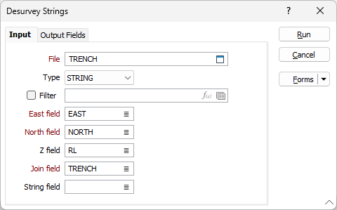
In the Desurvey Strings form, specify the following input parameters:
File
Select a (DATA, SURVEY, STRING, PIT) input file type and then double-click (F4) to select the file containing the 3D downhole coordinate information.
Filter
If necessary, define a filter to restrict the data that will be used as input to the process. If any point does not pass the filter, then the complete string is ignored.
East and North and Z fields
Specify the names of the fields in which Easting, Northing, and Reduced Level (RL) coordinates are to be stored in the input file.
Join field
In forms that require polylines as an input, the values in this field define whether the data points in the input file should be joined by a line. If successive records have the same value in this field, a line will join the points. If two-factor topology is required, the values in a String field may also be used to segment the lines.
String field
In most forms, the String field is an optional generic attribute used to store a secondary input such as a code. Traditionally, this field has also been used with the Join field to define whether data points should be joined by a line, or strung, hence the name.