Setup WMTS Image
![]()
OpenGIS® Web Map Tile Service (WMTS) requests define the geographic layer(s), the area of interest to be processed, and how the data will be served and rendered using tiles. The result of these requests is one or more geo-registered map images. The images are saved with a .mmwmts file extension.
You can reload the files without connecting to the server, however you must be online to view the images. Once loaded, the images can be treated like any other, including draping onto a wireframe if the coordinate systems match.
For more detailed information, visit: http://www.opengeospatial.org/standards/wmts
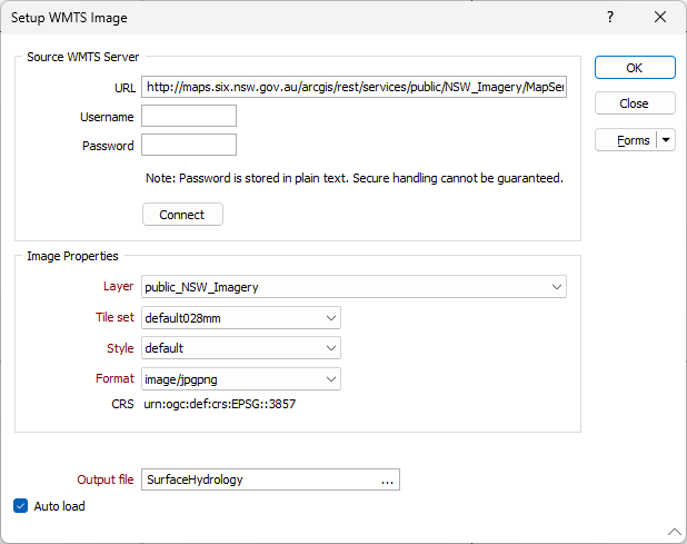
Source WMTS Server
URL
The Web Map Tile Service is invoked using a standard web browser URL to submit a service request.
The content of the URL will depend on the operation requested: the information to show on the map, the area of interest, and the coordinate reference system.
A Username and Password may or may not be required to access the server. Note that the password is stored as plain text. Secure handling cannot be guaranteed.
Click the Connect button to connect to the server.
Image Properties
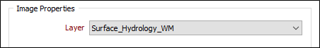
Layers
The features of a map may be organised into layers. If multiple layers exist, select the layer to include in the generated image.
Tile Set
Depending on the service, you may be able to choose how the image is served and rendered using tiles.
Style
Depending on the service, the layer you have selected may be rendered using a choice of styles.
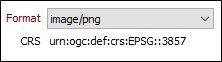
Format
Depending on the service, the tiled map data may be available in one of several raster and vector image file formats.
CRS
Read-only. The coordinate reference system used to georeference the image, for example CRS:84 (WGS 84). Note that the application supports client-side coordinate conversions when the required coordinate systems are unavailable on the WMS and WMTS servers.
Output file
Enter (or click on the ellipsis to select) the name of the output (*.wmts) file.
Auto load
To display the image in Vizex once the file has been created, select the Auto load option. (You can also drag and drop to load an image file into Vizex from the File Explorer.)
Forms
Click the Forms button to select and open a saved form set, or if a form set has been loaded, save the current form set
OK
When you have connected to the WMTS server, set the properties of the image, and specified an output file, click OK to create and (optionally) load the image.