Flatten
![]()
The flattening of folded orebodies is an important requirement for many clients who want to model folded sedimentary (nickel laterite, cobalt laterite, bauxite, mineral sand, volcanic-sedimentary iron ore, manganese etc.) deposits.
Almost all statistical and geostatistical analysis and grade estimation functions use the Easting, Northing and RL coordinates of the data to calculate straight line distances. For folded orebodies however, this produces a high degree of inaccuracy, since true geological distances (taking into account dip direction and strike) are ignored.
File
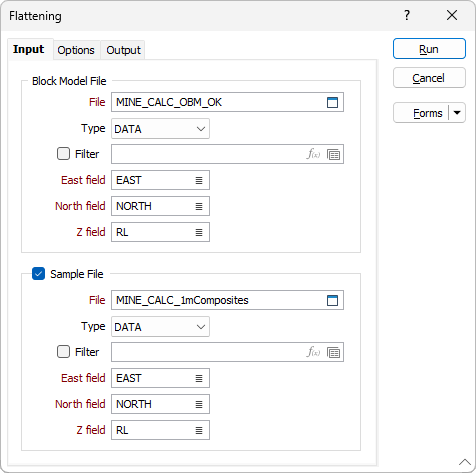
Inputs to the flattening process are a Block Model file and an optional Sample file. Typically, the sample file will contain composites restricted by an ore wireframe.
Double-click to select) the names of the files that contain the data to be flattened. If a Sample file is being used in the process, select the check box to enable the prompts.
East and North and Z fields
For each file, specify the names of the fields in which Easting, Northing, and Z coordinates are stored.
Options
Use the Options tab to specify how the structure will be flattened and where the results of the process will be stored.
Output
Use the Output tab to specify the output files and the coordinate fields that will be written to as a result of the process.
Forms
Click the Forms button to select and open a saved form set, or if a form set has been loaded, save the current form set.
Run
When you have set flattening options and specified the output files and the output fields, click Run to begin the Flattening process.