GIS Web Feature Service (WFS) Connections
GIS layers support Web Feature Service (WFS) connections via WFS:https link.
WFS allows the exchange of geographical information over the web, solving the problem of having to transfer large GIS files over email or cloud platforms. This capability allows administrators or users to direct other users to a central server to obtain GIS information such as strings and points which would have otherwise have to be manually transferred. This also prevents any modifications to the information and is particularly useful for things like tenement boundaries or historical mapping which should not be modified.
To utilise a WFS URL for GIS input:
In the Input File field, enter the URL for the WFS in the format WFS:https:\\ For example, to use the Foundation Electricity Infrastructure data from Geoscience Australia Web Services, the URL would be:
WFS:https://services.ga.gov.au/gis/services/Foundation_Electricity_Infrastructure/MapServer/WFSServer
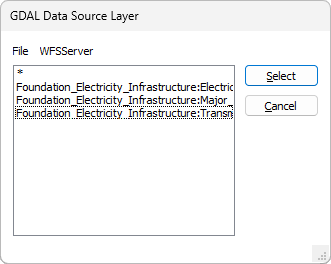
With the URL entered, you can click the ellipsis in the Layer field to select the GDAL Data Source Layer from the connected source:
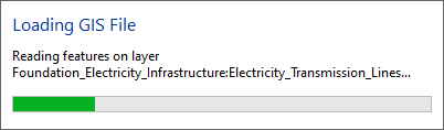
When the layer is selected, and the GIS Layer configured as required, you can click OK to load the new GIS layer. Micromine Origin & Beyond will read the information from the WFS data for the specified URL.
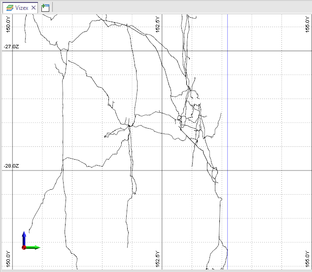
In the case of this example, the GIS layer displays the Foundation Electricity Infrastructure data from Geoscience Australia Web Services: