Point Cloud
![]()
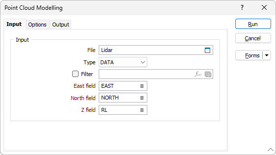
The file specified on the Input tab of the Point Cloud Modelling form will be a data file which contains the control points that define the surface or the volume to be modelled.
Input
File
Double click (or click on the Select icon) to select an Input file. Typically, the Input file will be a String or a Data file that defines the surface to be modelled.
East, North and Z fields
Specify the names of the fields in which Easting, Northing, and Z coordinates are stored in the points file.
Forms
Click the Forms button to select and open a saved form set, or if a form set has been loaded, save the current form set.