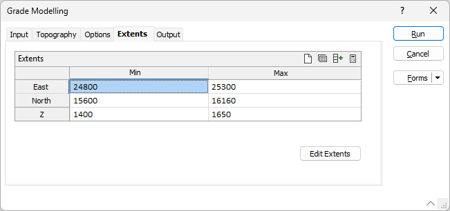
Extents
On the Extents tab of the Grade Modelling form, you can define the area of interpolation:
East, North and Z fields
Specify the Minimum and Maximum extents of the surface in the East, North and Z directions.
Use the buttons on the local toolbar to Manage the rows in the list.
Click the Autofill Extents button to select the source of the extents you want to autofill.
Edit Extents
Click the Edit Extents button to collapse the form and visually adjust the extents, automatically aligning the extents to a restriction rectangle in Vizex. Interactively adjusting the extents rectangle in the Vizex display, or in the Vizex Property Window, will update the values in the form.
See: Edit Extents