Elevation Grid
![]()
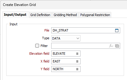
On the Input/Output tab of the Create Elevation Grid form, specify the name of an Input file and an Output file, and the names of the required fields in the Input file.
Input
File
Double-click (or click on the Select icon) to select the name of the file containing your elevation data.
Elevation field
Double-click (or click on the List icon) to select the name of the field containing the elevation values.
X, Y fields
Double-click to select the name of the fields containing the X, Y coordinates.

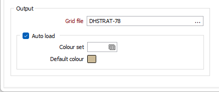
Output
Grid file
Enter the name of the output Grid file, or click the ellipsis to select an existing file.

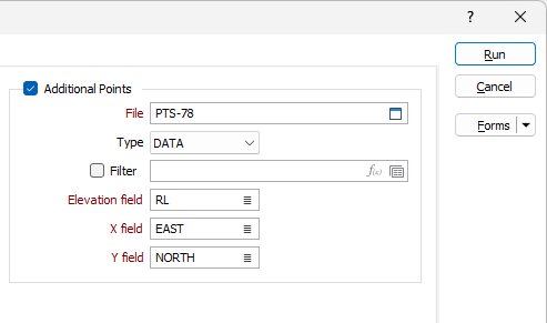
Additional Points
Additional points, in a secondary file, may be used to improve the accuracy of the generated grid(s).
File
Double-click (or click on the Select icon) to select the name of the file containing additional points.
Elevation field
Double-click (or click on the List icon) to select the field in which elevation values are stored.
X, Y fields
Double-click to select the name of the fields containing the X, Y coordinates.
