Polygon Assign
![]()
This function is also available on the Assign Blocks menu, on the Block Model tab, in the Block Model group.
Example:
The Zones of Influence function on the Drillhole tab, in the Calculations group, can be used to create polygons representing Measured, Indicated and Inferred zones (based on drillhole locations and classification radii). Polygonal Assign can populate a CLASSIFICATION field in a Seam Block Model based on these polygons. Remembering that the function pre-sorts the polygons (small to large), a single run ensures a correct classification.
The Points (or Block Model) file will be assigned values from fields in the String file. If any of those fields already exist in the file, they will be overwritten. Any fields that do not exist will be created. Values from the first record of each polygon in the String file are assigned to those points that fall within each polygon.
(You can also click the interactive Polygon Assign tool on the Design tab, in the Polygon Tools group, to interactively assign values to the points that fall within one or more selected polygons in Vizex.
Assign is often used with the Select tools on the Design tab, in the Selection group. See: Interactive Polygon Assign)
The function sorts the polygons from smallest to largest, and then perform the assign operation, stopping after the first match. The Assign tab gives control over the assign fields in the Output file and what will be written to them.
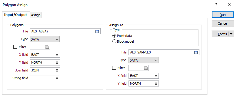
Polygons
File
Select a file type and then double-click to select the file that contains the polygons you will use to assign values. If required, define a filter to selectively control the records to be processed.
East, North, Z fields
Specify the names of the Easting, Northing and Z coordinate fields in the Input file.
Join field
In forms that require polylines as an input, the values in this field define whether the data points in the input file should be joined by a line. If successive records have the same value in this field, a line will join the points. If two-factor topology is required, the values in a String field may also be used to segment the lines.
String field
In most forms, the String field is an optional generic attribute used to store a secondary input such as a code. Traditionally, this field has also been used with the Join field to define whether data points should be joined by a line, or strung, hence the name.
Assign To
Type
Select Point Data or Block Model as the assign type. If the target file in this process is a Block Model file, you can calculate block factors.
You cannot assign to a rotated 3D block model unless Point data is the chosen Assign option. If you need to calculate block factors for a rotated 3D block model, you will need to convert the input polygons to wireframes and run Wireframe Assign instead.
File
Select a file Type and then double-click to select the name of the File containing the Point or Block Model data you want to assign to.
X, Y fields
Double-click to select the names of the X, Y coordinate fields in the target file.
Forms
Click the Forms button to select and open a saved form set, or if a form set has been loaded, save the current form set.
Manage
To save the types, attributes and names you have defined and re-use them in other functions, select Manage button to create a form set or load an existing form set.
Save
Click Save to save your changes as the default form set.
Save As
Click Save As to save your changes as a new form set.
Reset
Click Reset to clear the form of all values and reset the form to its default state.
Run
When you have specified an Output file and the Target fields you want to assign to, click the Run button to begin the process.