Coordinate System Editor
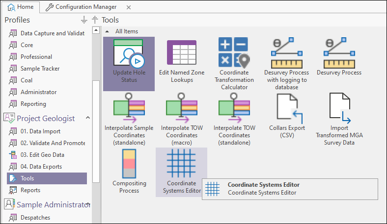
To invoke the Coordinate Systems Editor, double click on the Coordinate Systems Editor object or select the object and then click Execute from the Ribbon or the right-click menu.
The Coordinate System Editor is a utility which can be configured as part of a user profile. Coordinate Reference systems are stored in the GB_COORD_SYSTEM table in the Database.
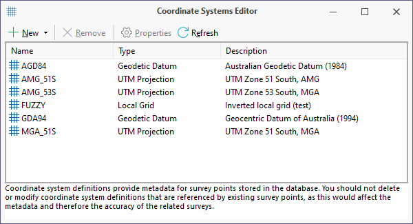
Coordinate system definitions provide metadata for survey points stored in the database. You should not delete or modify coordinate system definitions that are referenced by existing survey points, as this would affect the metadata and therefore the accuracy of the related surveys.
Use the toolbar buttons (or the right-click menu) to add and remove coordinate system definitions, review the properties of existing coordinate reference systems, and use the Coordinate Calculator utility.
|
|
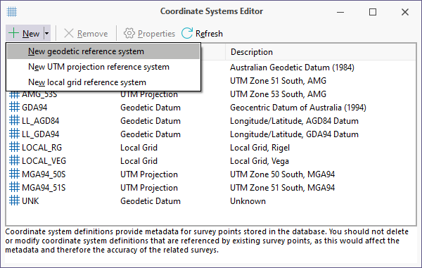
Click the New button to add a new coordinate system definition. The following options are provided:
In a Geodetic reference system, coordinates are expressed as latitude and longitude, based on a specified geodetic datum. A UTM projection is merely an extension of a geodetic system, allowing us to project geodetic latitudes and longitudes onto a "flat" plane. A Local grid is often used in areas of limited extent (e.g. a mine or project area). You define a local grid by entering the local grid and UTM coordinates of two points on opposite corners of the local grid area. |

|
Click the Remove button to remove the coordinate system definition selected in the list. |

|
Click the Properties button to modify the properties of the selected coordinate reference system. |

|
Click the Refresh button to update the list based on the records retrieved from the coordinate system tables. |