UTM Projection
A projection is merely an extension of a geodetic system, allowing us to project geodetic latitudes and longitudes onto a "flat" plane.
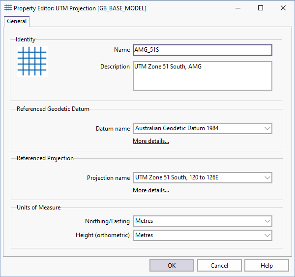
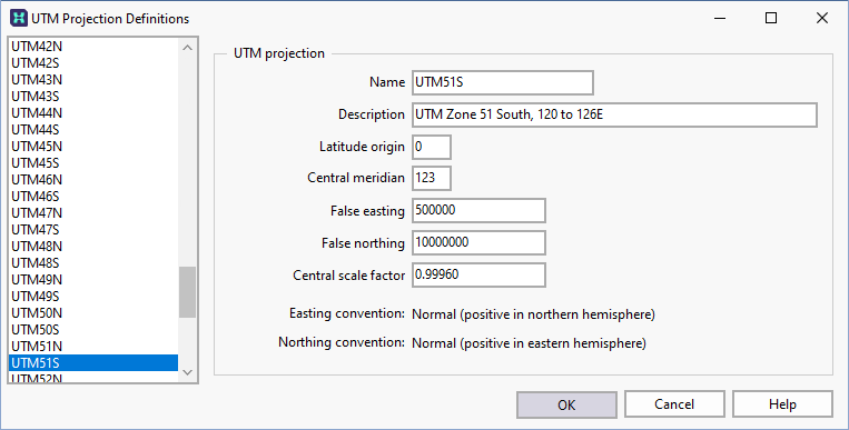
Micromine Geobank uses the popular Universal Transverse Mercator projection (UTM) as a basis for defining projected coordinate systems. Other implementations of Transverse Mercator are also supported. Projection parameters are stored in the GB_SYS_CS_PROJECTION table.
A projection must always be tied to a geodetic datum.
The Coordinate System Editor includes settings for height (vertical) datums. However height datum conversions are not directly supported by Micromine Geobank.